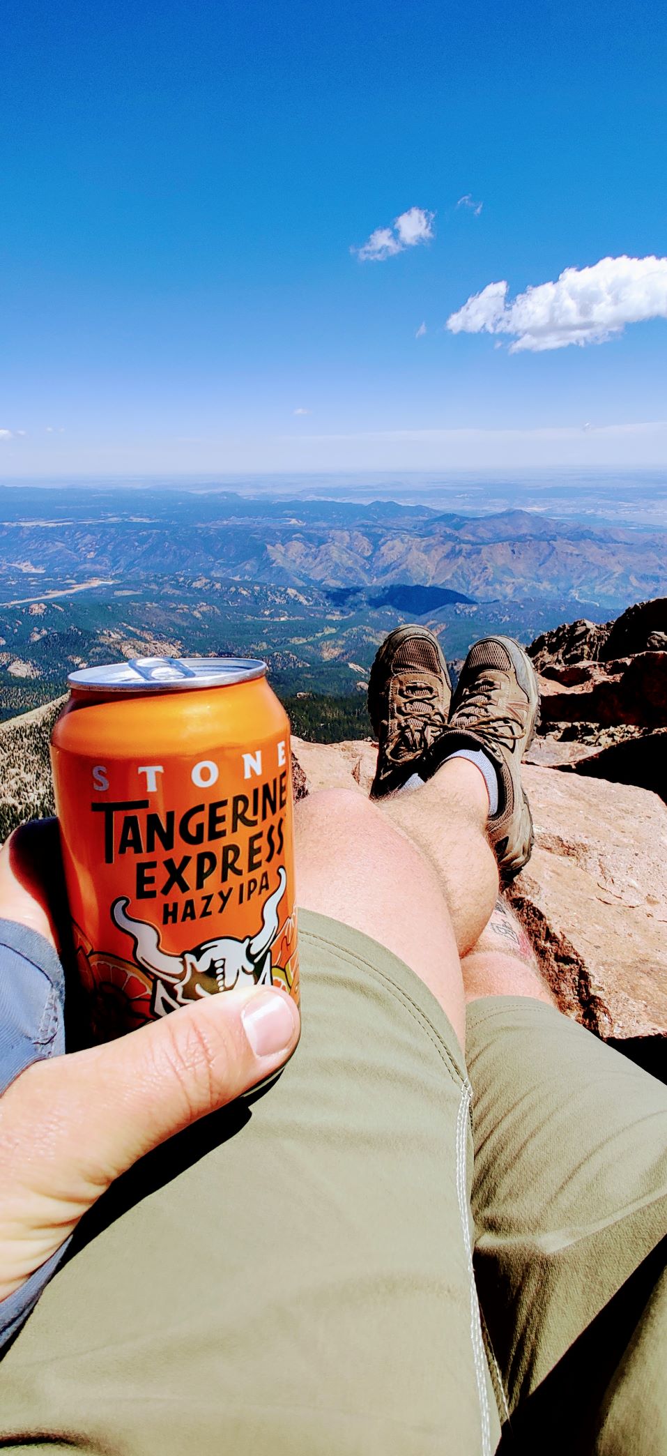
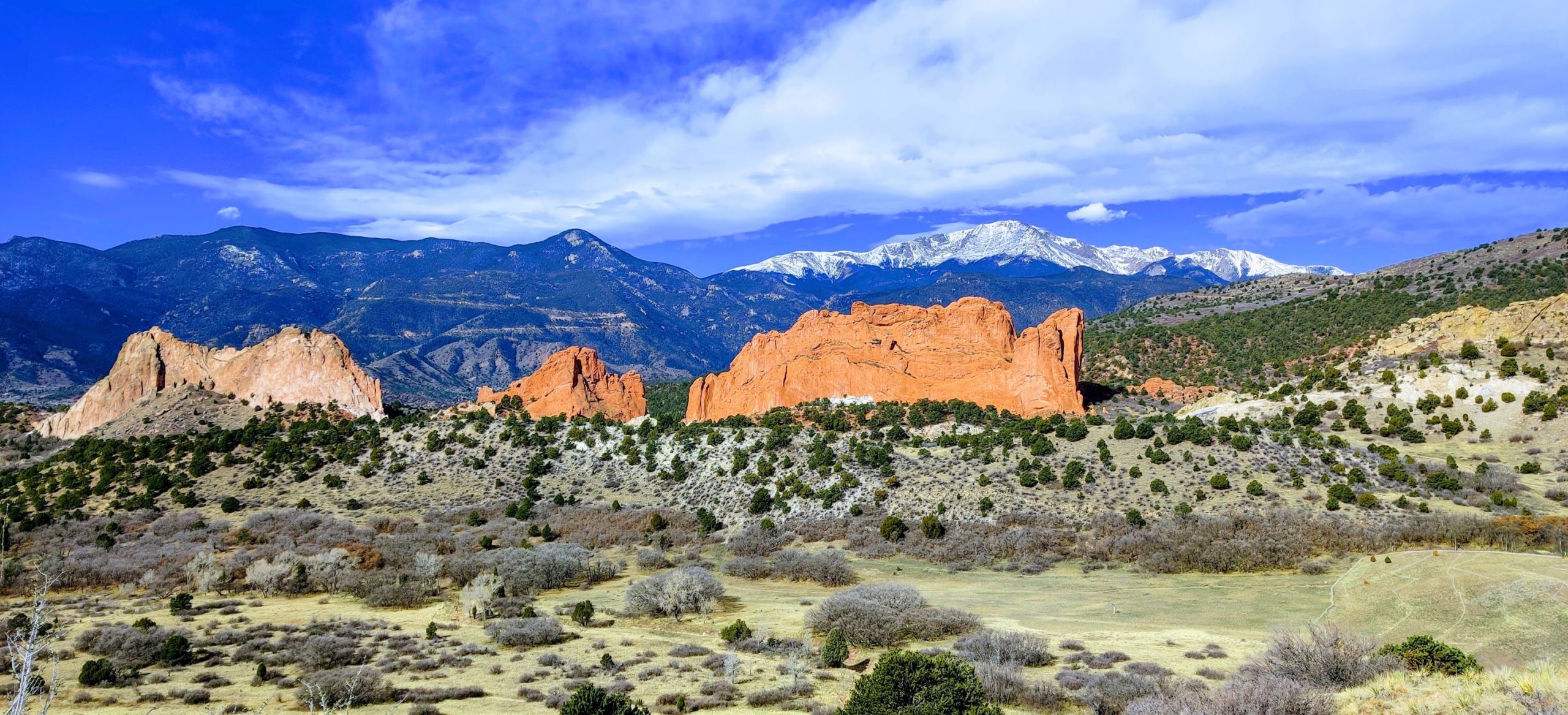
Colorado has a total of fifty-eight 14ers, or 58 mountains that have an elevation of over 14,000 feet above sea level – the most out of any state. Six of the 58 are in the Front Range, making climbing them an easy hiking accomplishment while you’re stationed (or just living) in the Denver or Colorado Springs areas.
In this post, I’m going to show you how to bag Pikes Peak–America’s Mountain. Of all the 14ers along the Front Range, Pikes Peak is by far one of the easiest to access and one of the most rewarding. Don’t lest the distance scare you, it’s a very, very mellow climb all the way to the top! Read on for this Coloradan’s guide to summiting America’s Mountain!
Pikes Peak FAQs:
- Is Pikes Peak open? For hiking purposes, Pikes Peak is always open. Whether or not you should hike it though, is a question that’s completely dependent on your skill level and the weather.
- Is Pikes Peak a volcano? No. Pikes Peak is a product of the Laramide Orogeny, a mountain-building event that took place 50+ million years ago when Laramide blocks were uplifted in the modern day United States.
- How long is the hike to Longs Peak? From the west side: 13.1 miles. From the east side, 26.2 miles
- How tall is Pikes Peak? 14,115 feet above sea level
- What is Pikes Peak famous for? Katharine Lee Bates wrote “America the Beautiful” after ascending Pikes Peak in 1893
- Who is Pikes Peak named for? Lieutenant Zebulon Montgomery Pike, the first recorded explorer to attempt to summit what he (then) called “The Grand Peak”
Quick Hiking Facts:
- Trail length: 14.5 miles (7.25mi out, 7.25mi back)
- Estimated time for completion: 9-10 hours
- Best way to experience the journey: camp at either Crags Campground or Mueller State Park and get started as early as possible
- Recommended start time: 0400
- Recommended months: June through September
- Best part: Being able to point at Pikes Peak from anywhere you can see it (even Denver) and say, “Yep, I climbed that one”
I consider Pikes Peak to be the second most grueling 14er in the front range simply because of the distance. The trail is actually quite flat for a large portion of the hike, but it’s the more-than-half-marathon distance that can scare a few folks off.
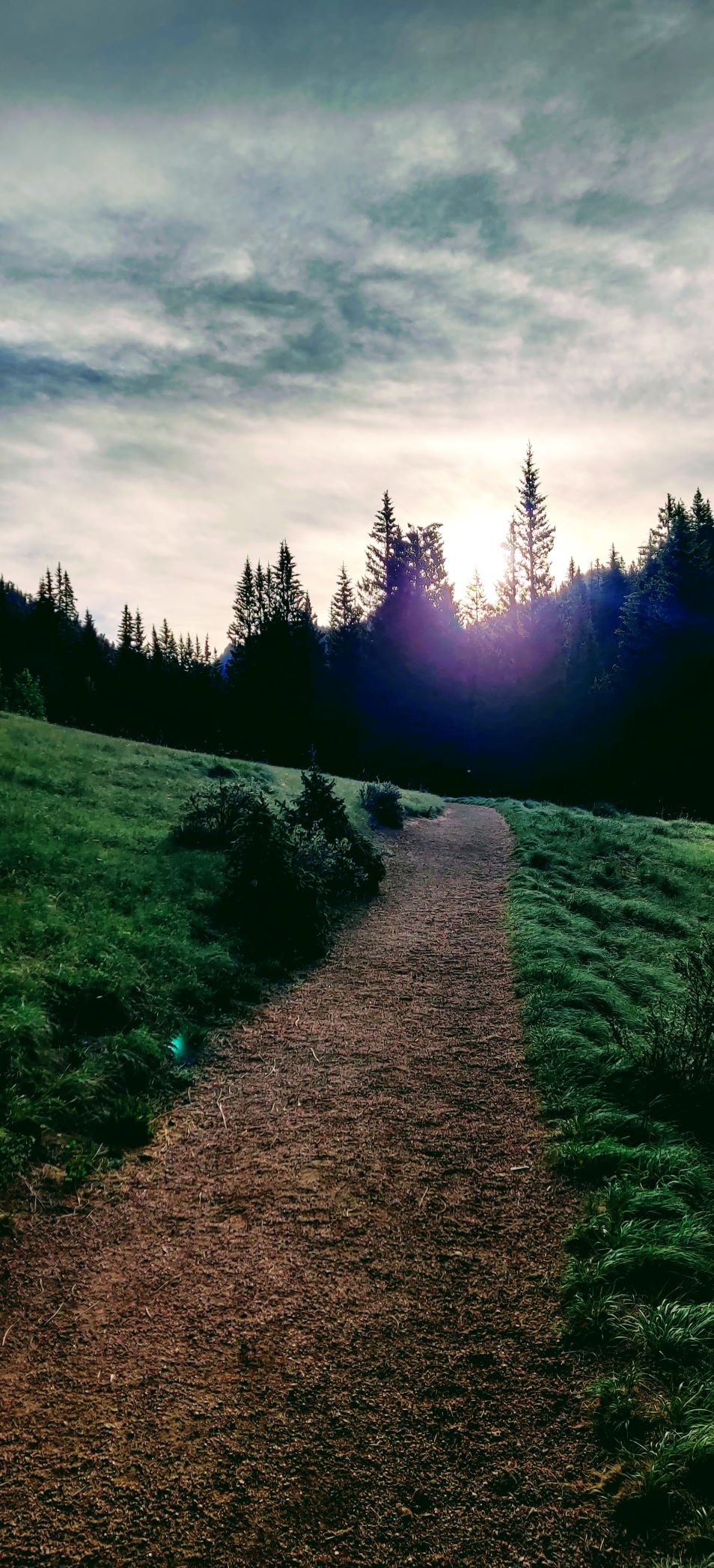
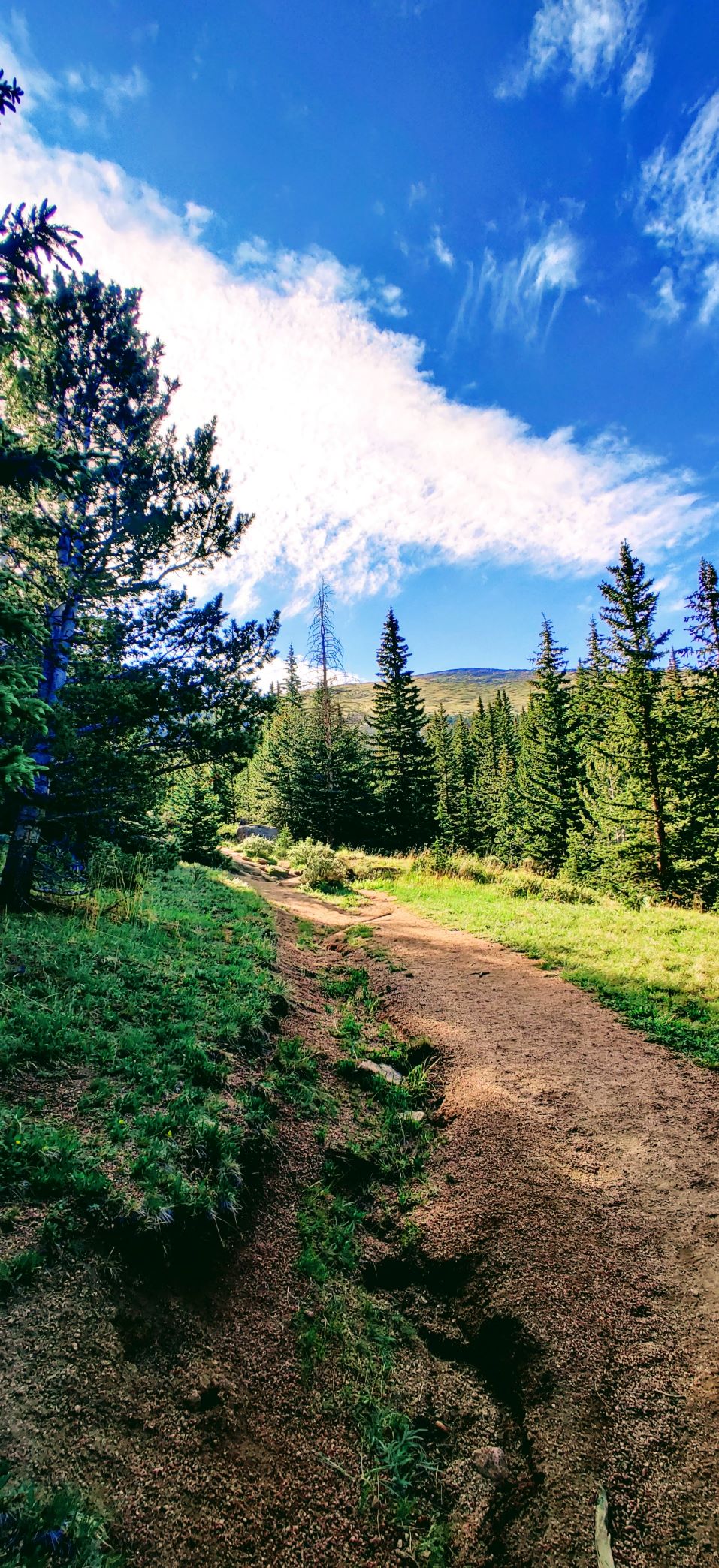
There’s two ways up Pikes Peak; this post will cover the easier one that goes up the “back side”. Start at Crags Trailhead and cross the river, then head east. A few miles into the trip, keep your eyes peeled for a sign that says, “Devil’s Playground” and head in that direction.
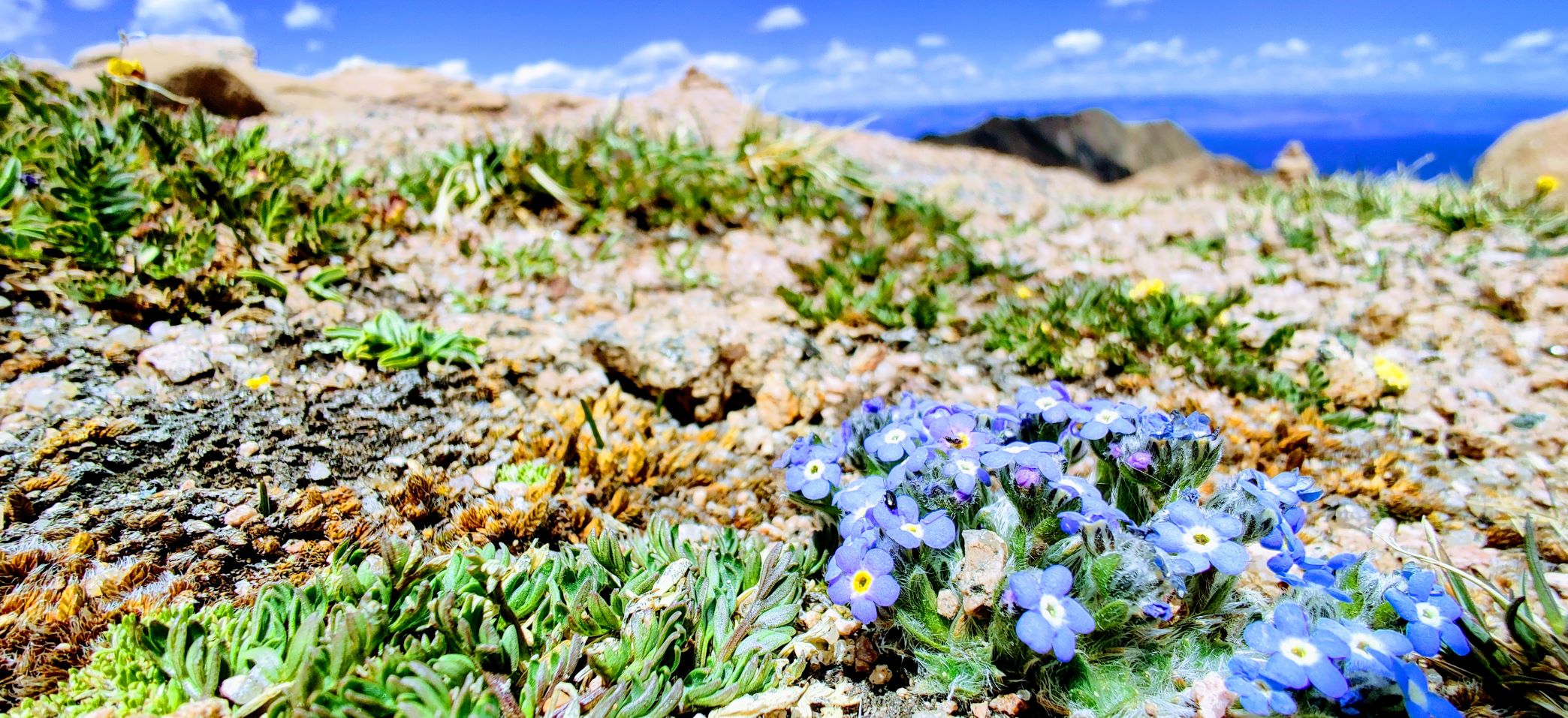
Don’t make the mistake I did and pass this sign thinking you’re all good lol it adds about another 1.5 miles onto your round trip. And don’t forget to stop and smell the wildflowers! The journey is everything on a hike that’s 13.1 miles lol.
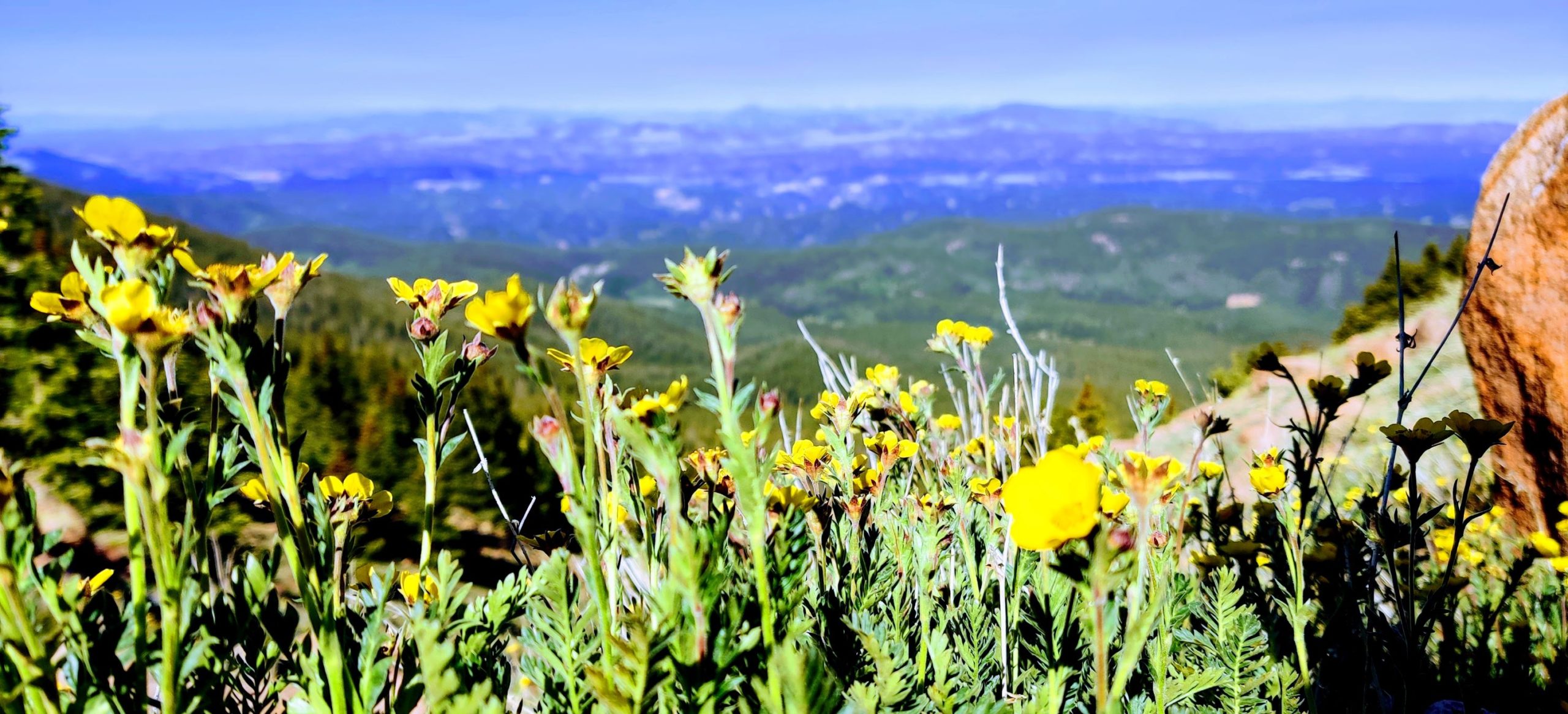
There are quite a few moments where the trail flattens out and you can really gain some ground, so take advantage of those times when they arise.
As you make your way up past the tree line, you’ll start nearing the road that the whimpy humans in cars can take up to the summit lol. Keep your eyes peeled and if you’re lucky, you’ll spot some big horn sheep, marmots, and deer all in the same blink!
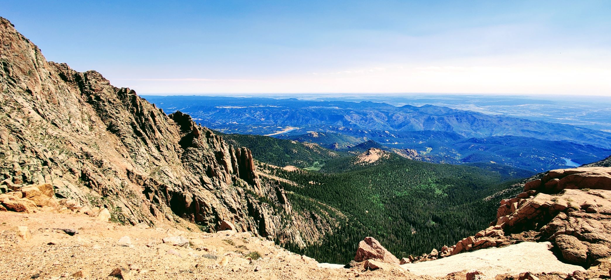
Don’t let the false summits fool you as you start getting near that 11-12 mile mark, this trail really is 13.1 miles long and not a foot shorter!
The easiest way to take the shortest route to the top while scrambling is to always look for the cairns (i.e. man-made piles/stacks of stones) and go to them. Cairns are built by people who’ve come before for the sole purpose of helping others get to the top in the most efficient way.
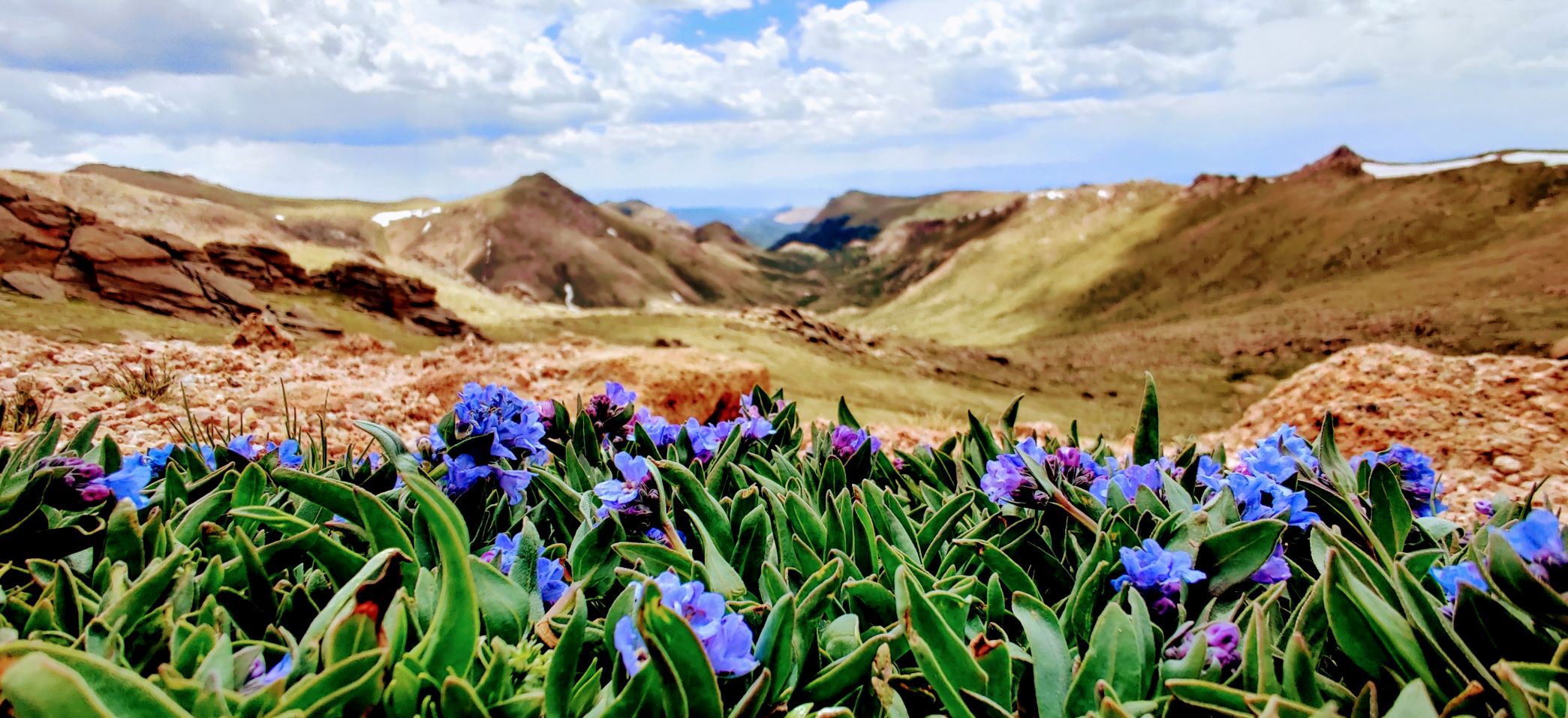
Once you’ve made it past the final rock scramble, you’ll officially be able to say you climbed America’s Mountain! Whip out that cardboard sign with 14,115′ written on it and snap a selfie; congrats!
The trail back down is extremely relaxing and easy, so enjoy it! Stop and take pictures of any wildflowers or species of wildlife you’re lucky enough to experience and remember to pack out all of your trash so future hikers can equally enjoy their experience.
