If you’ve been outside during your time in Korea, I’m sure you’ve realized by now that ‘hiking’ and ‘Korea’ are basically synonymous with each other. South Korea is a wonderous and subtly rugged landscape with 70% of the peninsula being mountainous and the other 30% being coffee shops. Just kidding, but seriously.
With so many mountain ranges all around you at any given time, it’s hard to pinpoint which range you might want to climb someday–that’s where this post aims to help your decision-making. Songnisan National Park is less than two hours away from Osan Air Base, provides an array of hiking trails for every skill level, and offers some unique experiences that other Korean National Parks just can’t. For example, where else can you walk through a tree grove that smells like peanut butter or rest your tired legs at a street food joint on top of a mountain while eating a potato pancake and drinking beer?
When do you plan to go?
Songnisan in the Summer
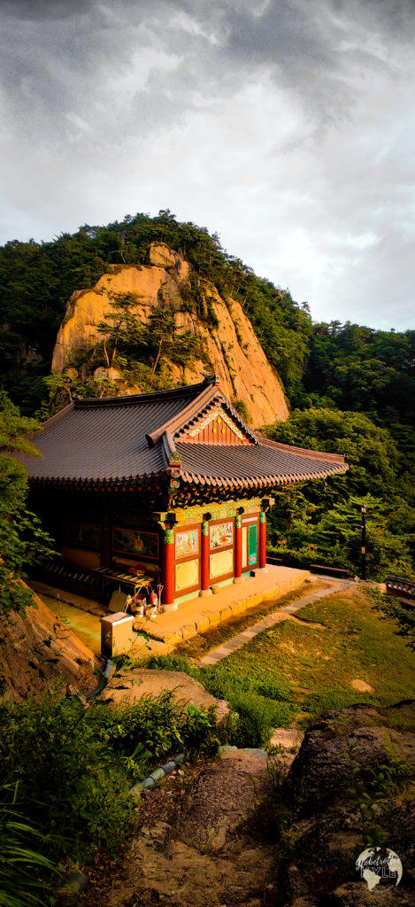
My summer excursion to Songnisan was a hot, muggy, buggy, and awesome one. Though the conditions weren’t ideal, the views from the summits and the hidden temple I found on the side of a mountain more than made up for that fact. If you’re going in the summer, bring lots and lots of water and take frequent breaks as to not overheat! Also, bug guard such as Off! or something similar will save your sanity and possibly your life lol.
As you approach the park, the first thing you’ll notice is the massive, iconic pine tree dubbed the Jeongipum Pine Tree. I highly recommend getting out of the car and stretching your legs here because the story of this site is as fascinating as the tree itself.
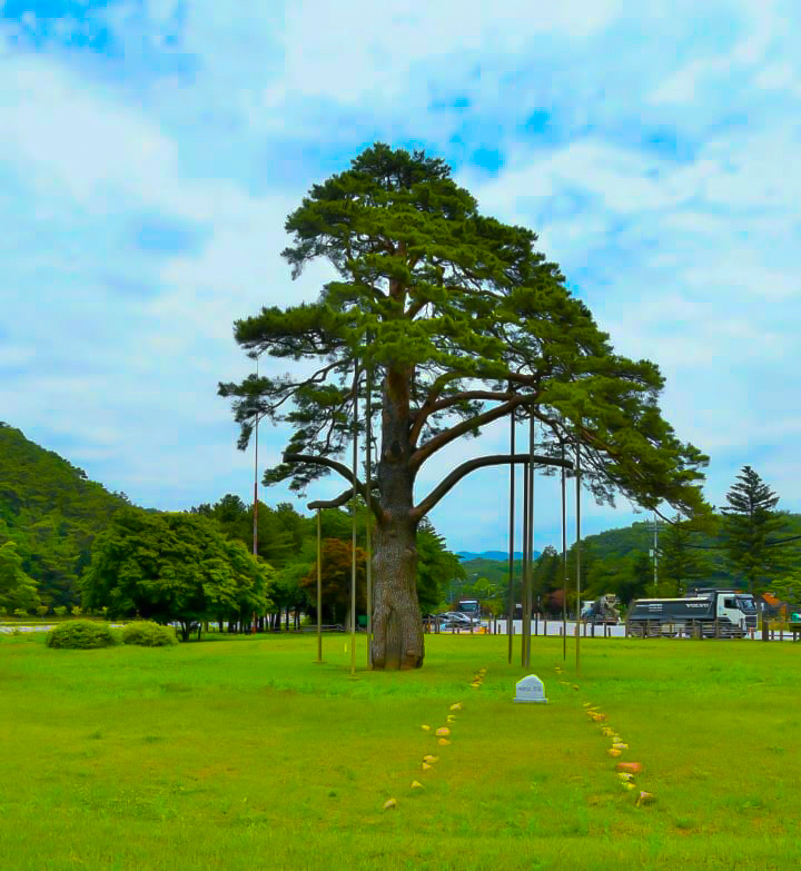
The Jeongipum pine tree is over 600 years old, stands tall at 15 meters high, and has branches that stretch up to 10 meters wide in some directions! It was designated as one of Korea’s Natural Monuments (#103) and is considered to be the symbol of Mt. Songnisan.
According to legend, King Sejo visited Mt. Songnisan’s Onyang Hot Spring in 1464 to cure an illness he had. As he passed under the Jeongipum pine tree, he worried that his sedan chair (the transport of choice for the wealthy) would get caught up in the massive branches. As he warned his servants to watch out, the branches actually lifted up for his royal procession to proceed under them! Because of this act of kindness, King Sejo gave the pine tree the ministerial rank of Jeongipum (a lower minister of the royal court).
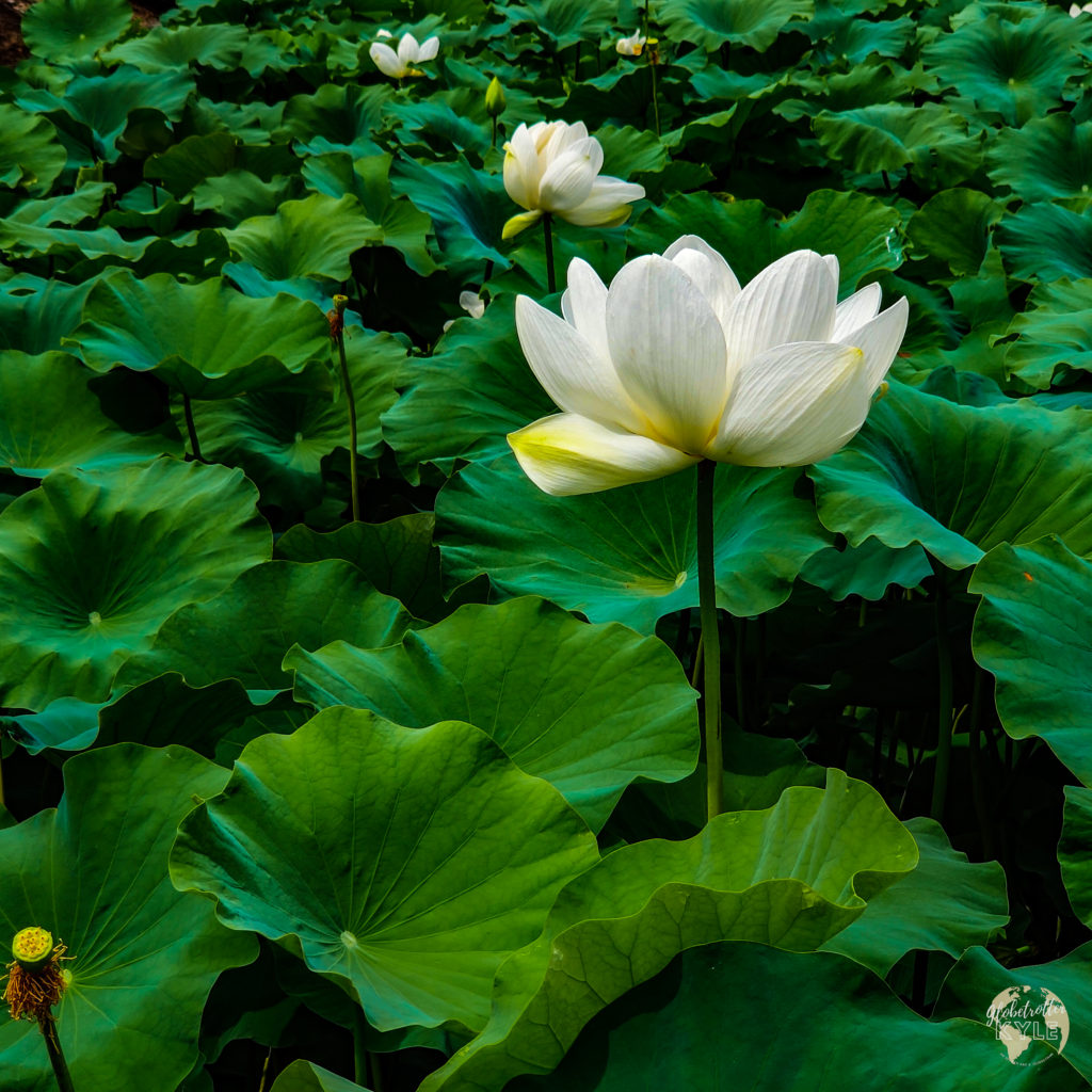
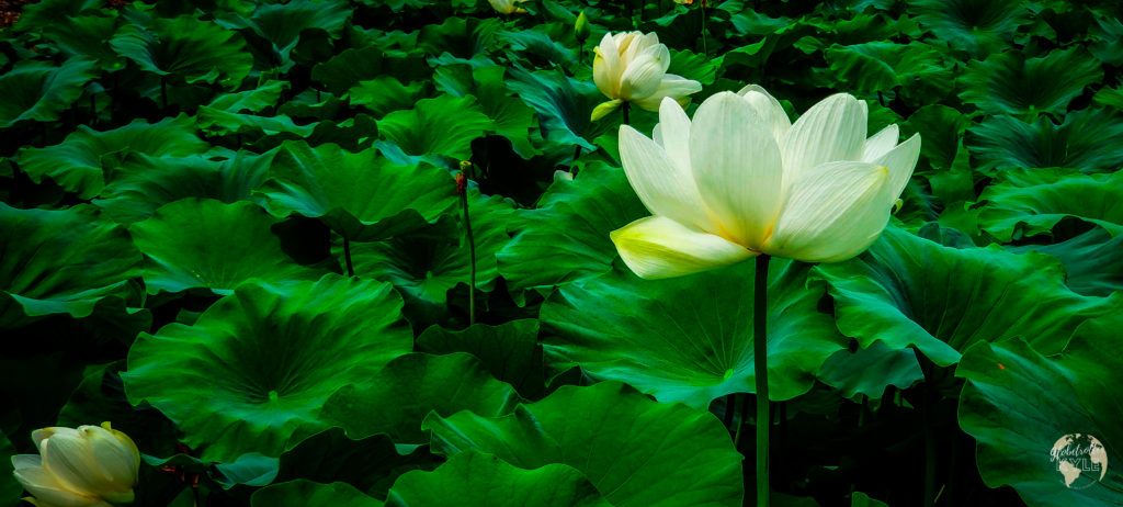
Once you’ve had your fill of 600 pine trees and folk lore, a sentence I never thought I’d type, continue up the road to Songnisan National Park. On your way, keep your eyes peeled for the picturesque lily ponds off to the right side of the road. It’s not very often you get to experience natural lily ponds, so hop out of your car one last time and snap a few photos for the gram before you begin your actual hike!
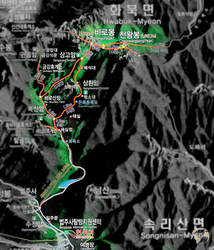
Now finally at the entrance, you’ll notice a plethora of trails on the park map and any one of them are sure to be rewarding. If you’re anything like me though, I’d recommend conquering the entire range by making your way to Cheonhwangbong peak (3,472 ft), the highest mountain in Songnisan. The name literally translates to “Mountain Removed from Worldliness”, and I promise the views live up to the name
As you begin your journey, you’ll quickly encounter one of the main reasons Songnisan is visited so frequently by many South Koreans, the Beopjusa complex. This site is the location for one of the head temples of the Jogye order of Korean Buddhism and has many cultural and religious artifacts on site to include the iconic 33-meter-tall Buddha statue weighing over 100 tons!
During my visit, I didn’t stop to visit Beopjusa initially because I was on a mission to conquer the mountain range and was eager to reach the summit. After all, I had over 7 miles and 2,490ft of elevation to go!
The first sight you’ll encounter on your way to Cheonhwangbong peak is a large reservoir that offers two paths to go around. I recommend taking the path to the left as it removes you from the road and puts you on a scenic path with plenty of spots to stop and take great photos across the water. Before you continue around the reservoir though, take a left as you make your way to the far side of the reservoir past the dam and proceed down the stairs to walk through the Harlequin Glorybower groves, trust me!
These fascinating bushes (native to Japan and China) are known as the peanut butter bush because as you crush the leaves, the aroma released is almost identical to peanut butter; not even kidding! Take in a deep breath here and experience one of the most unique things you can experience in this park.
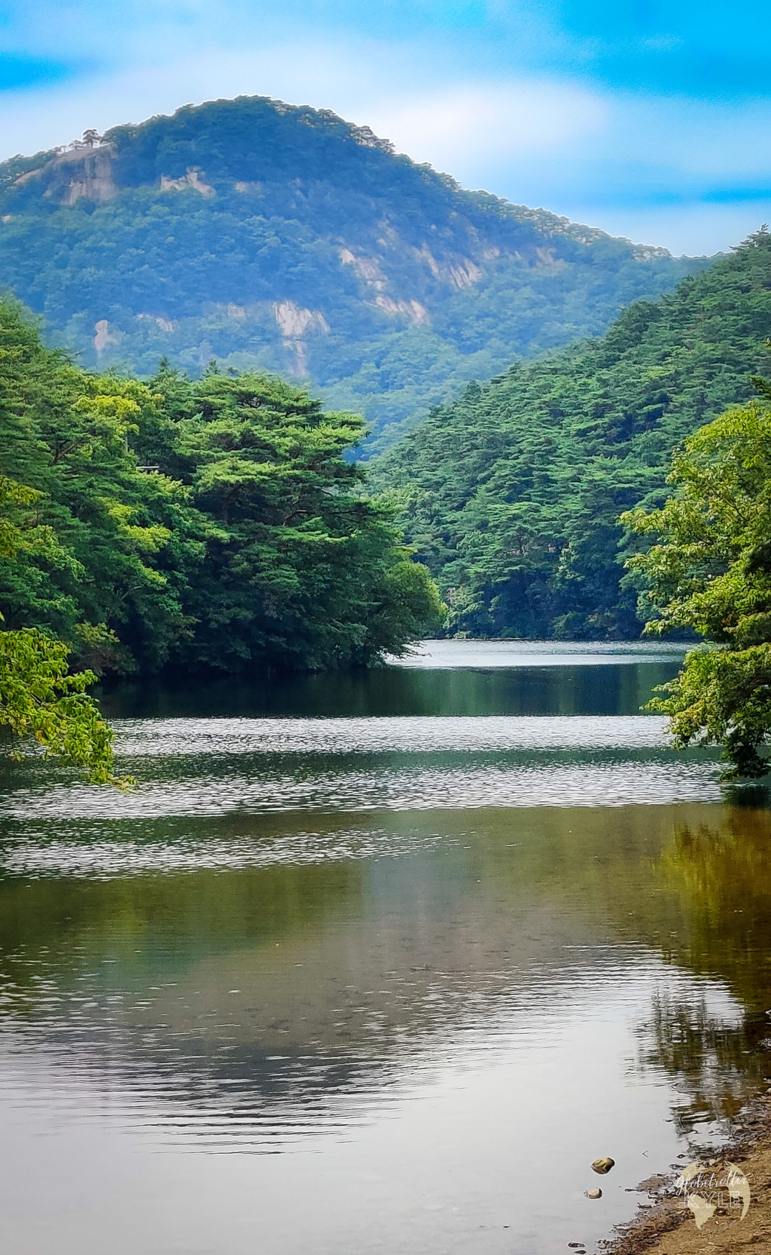
Once past the reservoir, you’ll encounter a great little café that sells basic necessities for hiking as well as a pretty decent cup of coffee. If you forgot to bring anything for your journey (e.g., water, sunscreen, hat, etc.), you can definitely grab it here. From there, I recommend crossing the road and taking the path that begins along the right side of the river–the valley trail. For the same reasons above, this trail removes you from the actual paved road and puts you on a boardwalk along a peaceful, rolling river.
From there, the only way to go is up, so get moving! The end of the valley trail will spit you out at a beautiful little pond as well as a restaurant that sells typical Korean food. If you choose to go right at this point, you’ll be on your way to Cheonhwangbong peak, and if you choose to go left, you’ll make your way up to Munjangdae Rock (a highly recommended option for the fall time).
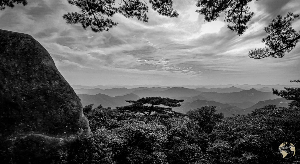
Like all Korean National Park trails, the route to Cheonhwangbong peak is a mix of hiking through forest and walking up stairs due to the ruggedness of the terrain. It’s quite the literal butt-kicker, but once you’re above the trees, take a deep breath of fresh air and relax–you’ve made it!! Believe it or not, where you’re standing is the epicenter for three major rivers in the Republic of Korea, the Geumgang (to the west), the Nakdonggang (to the south) and the Hangang (to the north). Cool, right?!
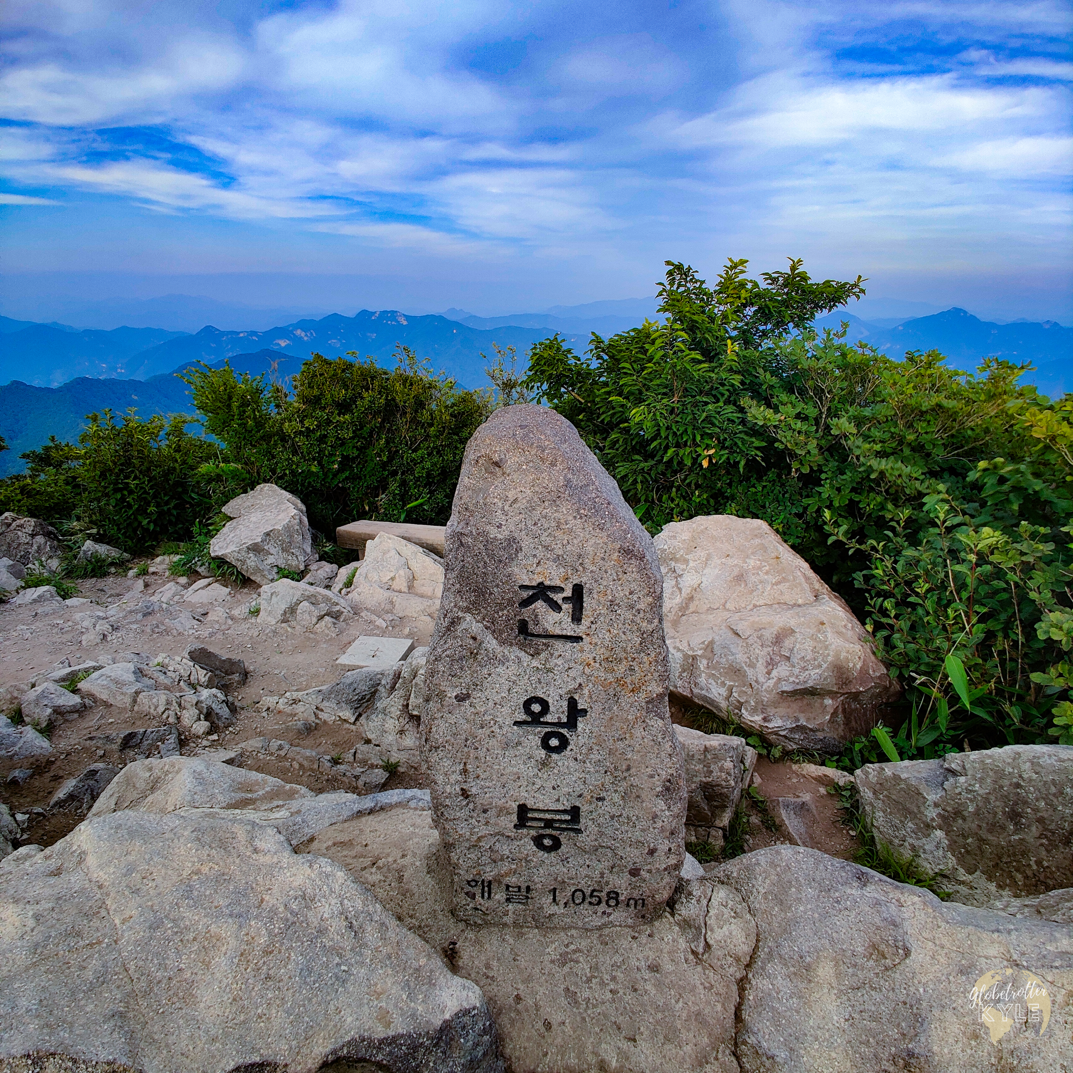
I’d love to say that the summit views were the best part of this hike, but I promise you, it gets better.
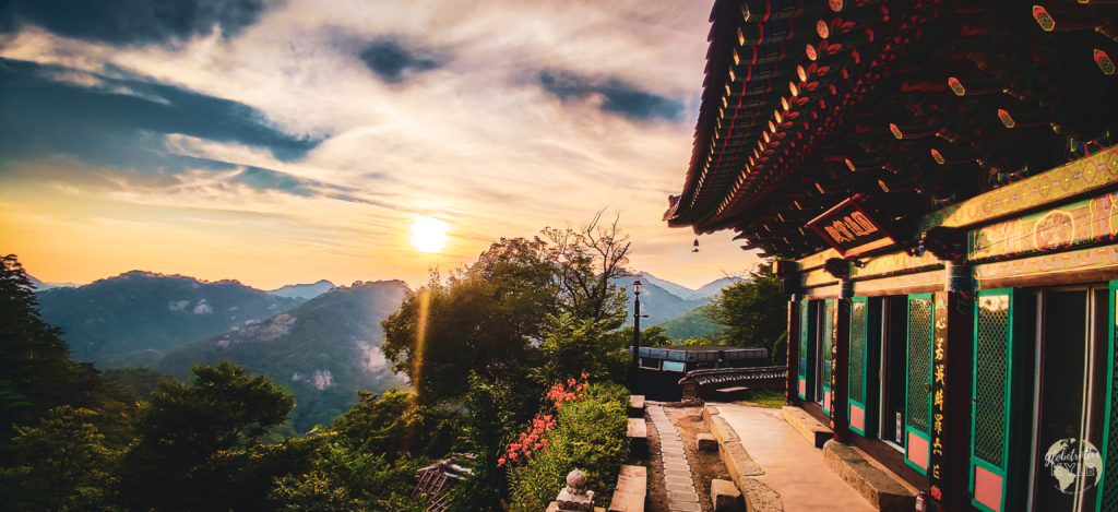
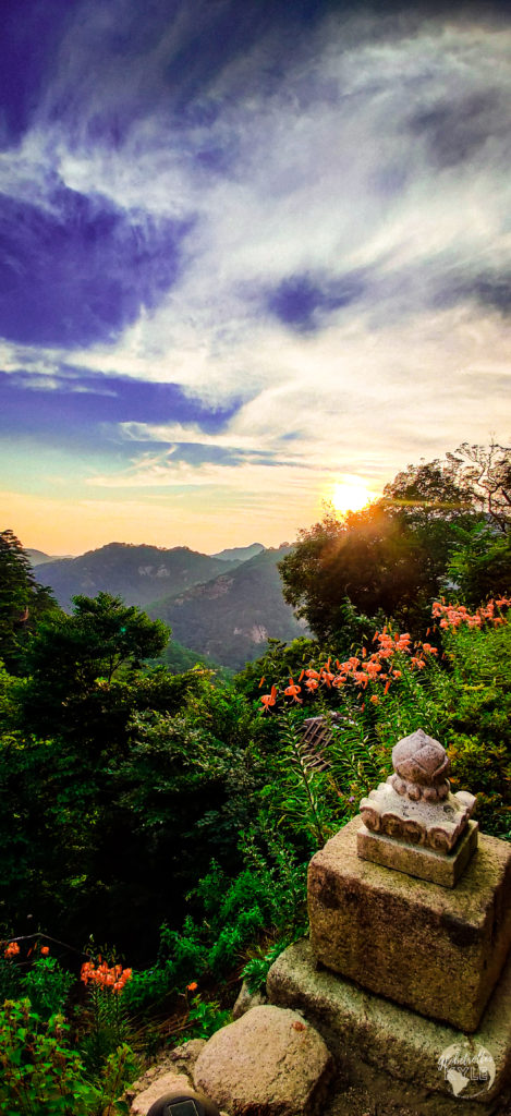
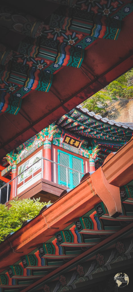
After you’ve rested up, continue back down the way you came but, keep your eyes peeled for signs directing you towards the Sanggoam temple about 1.5 miles into your decent. If you can, time your visit to this amazing temple as the sun begins to set and you’ll have some of the most gorgeous views in all of South Korea etched into your mind forever. I know from experience 🙂
Songnisan in the Fall
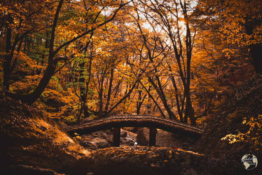
It’s hard to believe that the changing of leaves can change the entire experience of a place but for me, Songnisan’s fall foliage did just that. When I visited this park in the summer, it was as muggy as it was buggy, and I shared the trail with way too many flies towards the end. In the fall though, the bugs were all but gone and the ambiance was like something out of a National Geographic photoshoot.
As I approached the park for the second time, I was again greeted by the iconic Jeongipum pine tree. Sticking to tradition, I hopped out of the car and stretched my legs with a few laps around the grassy area, taking in the beautiful sights.
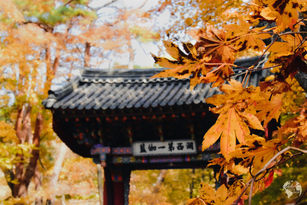
Being that the Jeongipum pine tree is over 600 years old and stands tall at 15 meters high, it’s hard not to simply stare in awe as to how this thing has survived so many decades. Afterall, it is the symbol of Mt. Songnisan! In case you jumped here from the top of the page, here’s the background for the Jeongipum pine tree:
According to legend, King Sejo visited Mt. Songnisan’s Onyang Hot Spring in 1464 to cure an illness he had. As he passed under the Jeongipum pine tree, he worried that his sedan chair (the transport of choice for the wealthy) would get caught up in the massive branches. As he warned his servants to watch out, the branches actually lifted up for his royal procession to proceed under them! Because of this act of kindness, King Sejo gave the pine tree the ministerial rank of Jeongipum (a lower minister of the royal court).
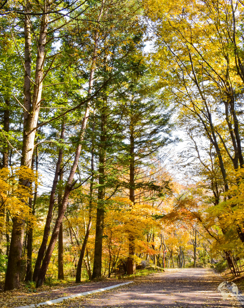
At the entrance of the park for the second time, I decided that rather than conquer Cheonhwangbong peak (the highest peak in Songnisan National Park), I’d try the Munjangdae Rock route instead. This route was longer than the Cheonhwangbong peak route by about a mile at 8.3 miles long and just over 2,400 feet of vertical gain.
Once again, like during my summer visit, I didn’t stop to visit Beopjusa because I was too infatuated with the fall foliage all around me. Literally ever single leaf in the park was bursting with color as they prepared to shed themselves before Jack Frost had a change to snatch them off their branches.
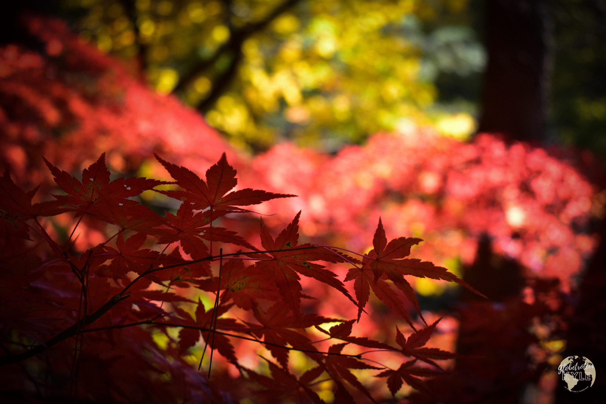
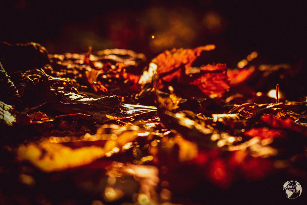
In case you jumped here from the top of the page, the start of the Munjangdae Rock route starts as you follow the road from the entrance of the park until you reach the reservoir. I recommend taking the path to the left as it removes you from the road and puts you on a scenic path with plenty of spots to stop and take great photos across the water. I trekked through the Harlequin Glorybower groves but being that it was autumn, the smell of peanut butter had vanished unfortunately.
Nonetheless, I continued past the reservoir, past the little cafe at the end of the scenic trial, and continued to the valley trail across the street for some picturesque shots of leaves changing over a river and to begin the vertical push up to Munjangdae Rock.
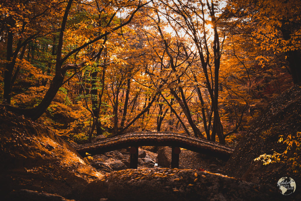
In total, I’d say I took about four- or five-hundred photos on my way to the top of Munjangdae Rock, each one better than the last! What was only supposed to be a 4- or 5-hour hike turned into an all-day excursion that flew by entirely too fast. I’d love to type something here to describe the beauty in every direction while on the trail, but my words just can’t do this place justice–you’ll have to experience it for yourself.
Finally reaching the summit of Munjangdae Rock, I could see for miles in every direction thanks to a clear sky with only a few clouds overhead. The views were almost as breathtaking as the hike itself was and I was so happy to finally rest my tired legs. Given it was November, it was rather chilly at the summit, so I didn’t stay too long before I began losing feeling in my fingers.
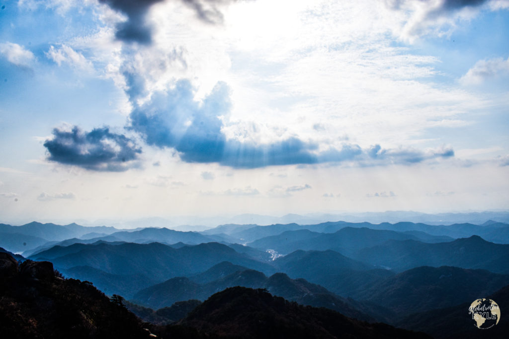
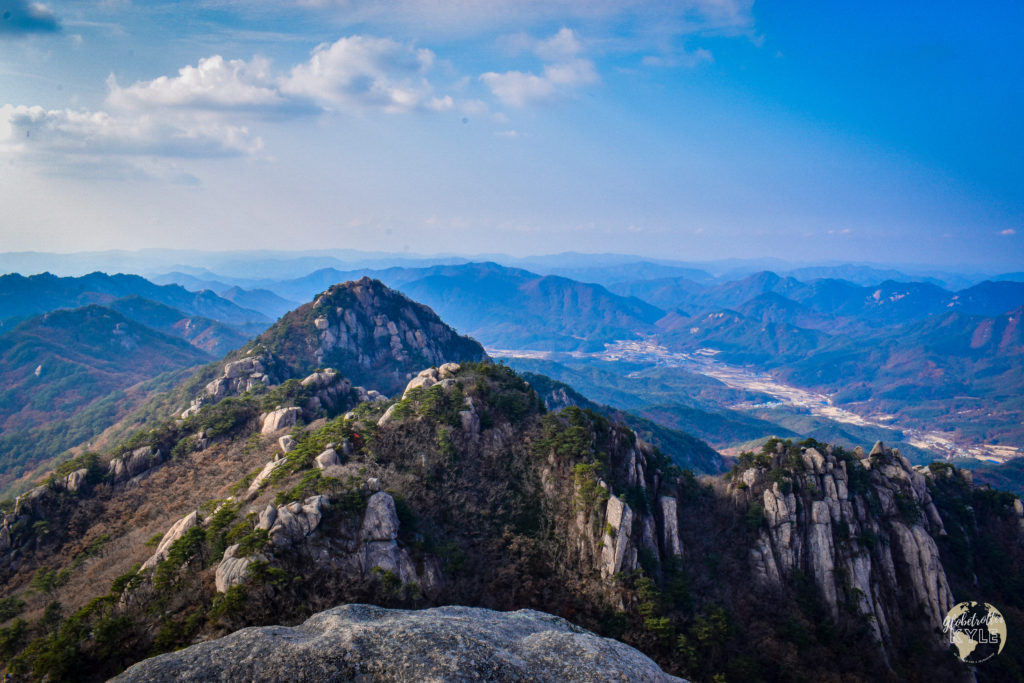
As I began coming down from Munjangdae Rock, I pieced together that I could get back to where I started if I summited one other peak and made a loop out of my trail; so, I did just that! I began heading north from Munjangdae Rock towards Birobong peak. Just over 30 minutes later, I had arrived…but the sight was rather peculiar.
As I reached Birobong peak, I found a guy selling food out of what sort of looked like a shack/food truck. He had a very simple menu of various pancakes (potato and kimchi), meat dishes, and of course, BEER! I couldn’t believe it, but I had to order one to say that I did it lol. To this date, that potato pancake and Cass beer that I was fortunate enough to enjoy on top of a mountain in South Korea is far better than any gourmet meal I’ve ever had.


Thanks for the guide Kyle! Climbing it tomorrow. Doing a big loop to hit Munhangdae rock, Birobong and Cheongwangdae peak. Excited for it!
Hi Joe, thanks for reading!
Glad to hear this was useful, have fun!